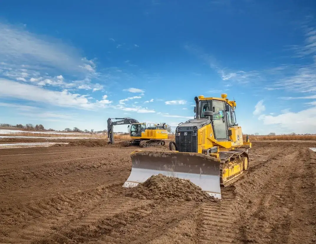
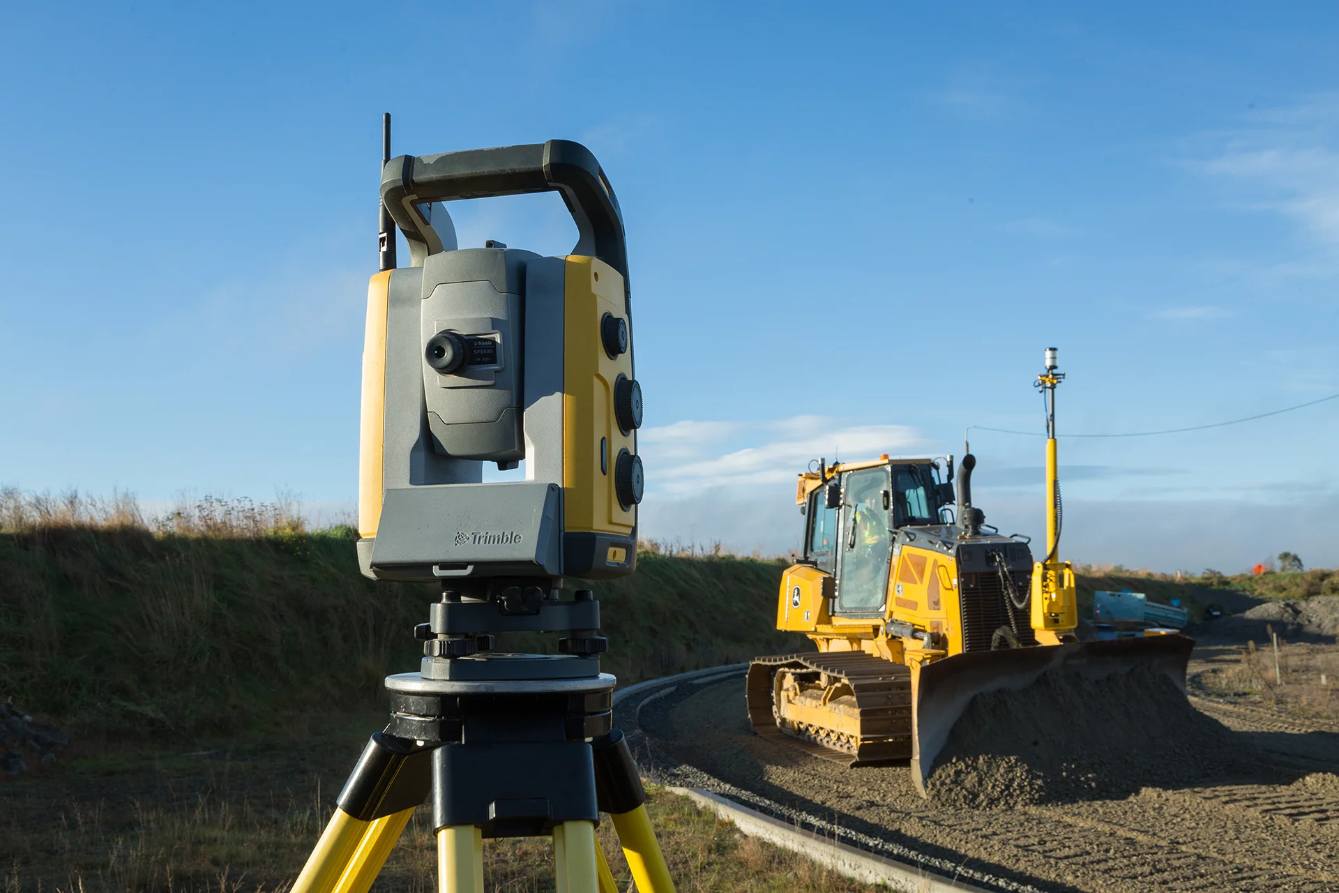
Total Stations
Scanning, robotic, Autolock® , and mechanical total stations.
Powered by industry-leading technologies, surveyors around the world trust our high-performance total station solutions for maximum productivity. Streamline your workflows and deliver top quality with precision technologies that meet the needs of your industry.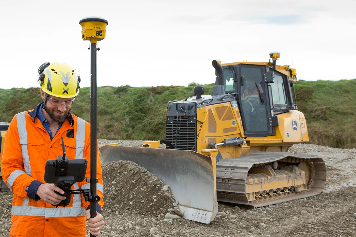
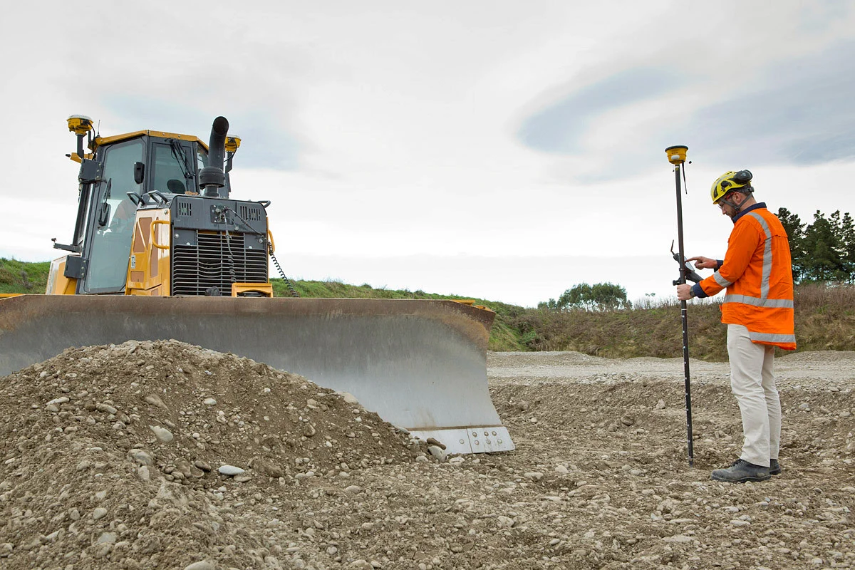
GNSS Systems
Capture accurate topographic data
Integrated and modular GNSS systems for surveying and mapping.Trimble solutions enable surveyors and GIS professionals with reliable, innovative GNSS solutions that meet their distinct requirements. Trimble sets the standard with positioning technologies, such as the Trimble ProPoint GNSS engine, to survey challenging environments, and the Trimble Inertial Platform (TIP) to measure points while the survey pole is tilted.
Data Collectors
Powerful, rugged, and designed for the way you collect data
Whether you need a field controller to pair with your GNSS receiver and total station for surveying, or a fully integrated GNSS handheld for GIS data collection, Trimble has a range of field devices optimized for the way you work.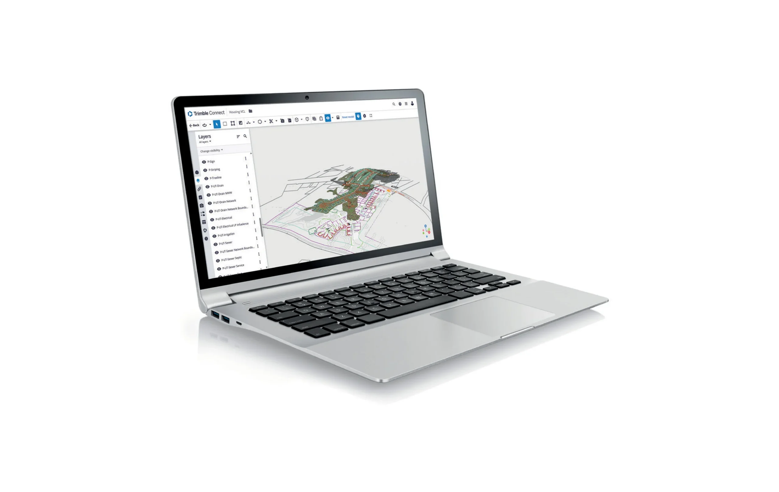
Trimble Connect
A cloud-based common data environment (CDE) and collaboration platform.
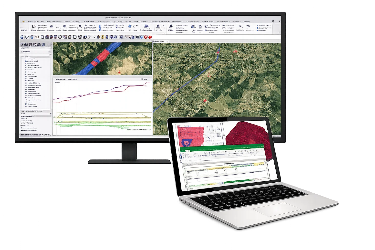
Trimble Business Center
Field-to-finish survey CAD software.