Delivering Precise Positioning From the Field to the Office and Back
Topcon develops and manufactures a wide range of positioning equipment and software designed to improve accuracy, productivity, and efficiency in various applications.
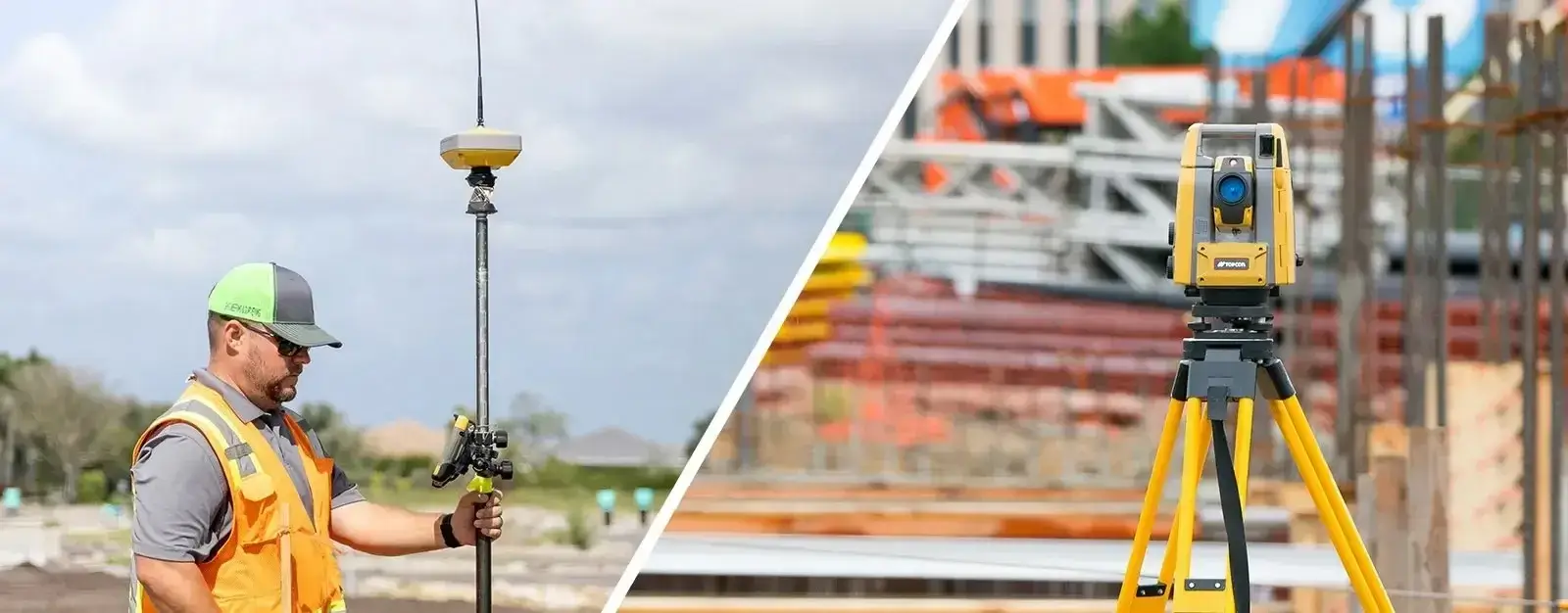
Field Surveying
Traditional Surveying
With land or cadastral surveying, your reputation depends on your accuracy. You can’t afford to be wrong. We are known for accuracy and dependability, whether the equipment is used for boundary survey, civil engineering, setting control points, or recording topography.
Survey for Construction
Every day, contractors are challenged to work faster, more accurately, and more efficiently to ensure profitability. We help you meet these challenges with solutions that consistently deliver accurate layout, stakeout, quality control, and verification results, even in challenging site conditions.
Field Productivity Solution
Enjoy the benefits of our intuitive software combined with our robotic total stations and GNSS instruments, which were designed and tested for use with ruggedized, military-grade field controllers. This is the field crews’ favorite technology bundle as it allows them to capture or lay out more points in less time.
GNSS Receivers and Correction Services
Topcon GNSS provides consistent high-accuracy positioning with better tracking even under aggressive site conditions such as around overhead obstructions. With Topnet Live global correction services, you can get high-accuracy GNSS positioning anywhere on the planet without the need for a base station.
Benefits
Increased efficency from integrated hardware and software bundles
Fast return investment, thanks to improved productivity